Description
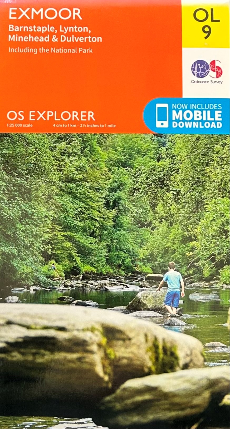
Detailed Ordnance Survey Map of Exmoor for walkers and drivers. Doublesided with the west side of Exmoor on one side, covering Ilfracombe to Simonsbath, and the east side of Exmoor on the other, covering Oare to Watchet. Includes the entire Exmoor section of the South West Coast Path. Includes a mobile download.
Scale 1 : 25,000 / 4cm to 1 km / 2.5 inches to 1 mile.


