Description
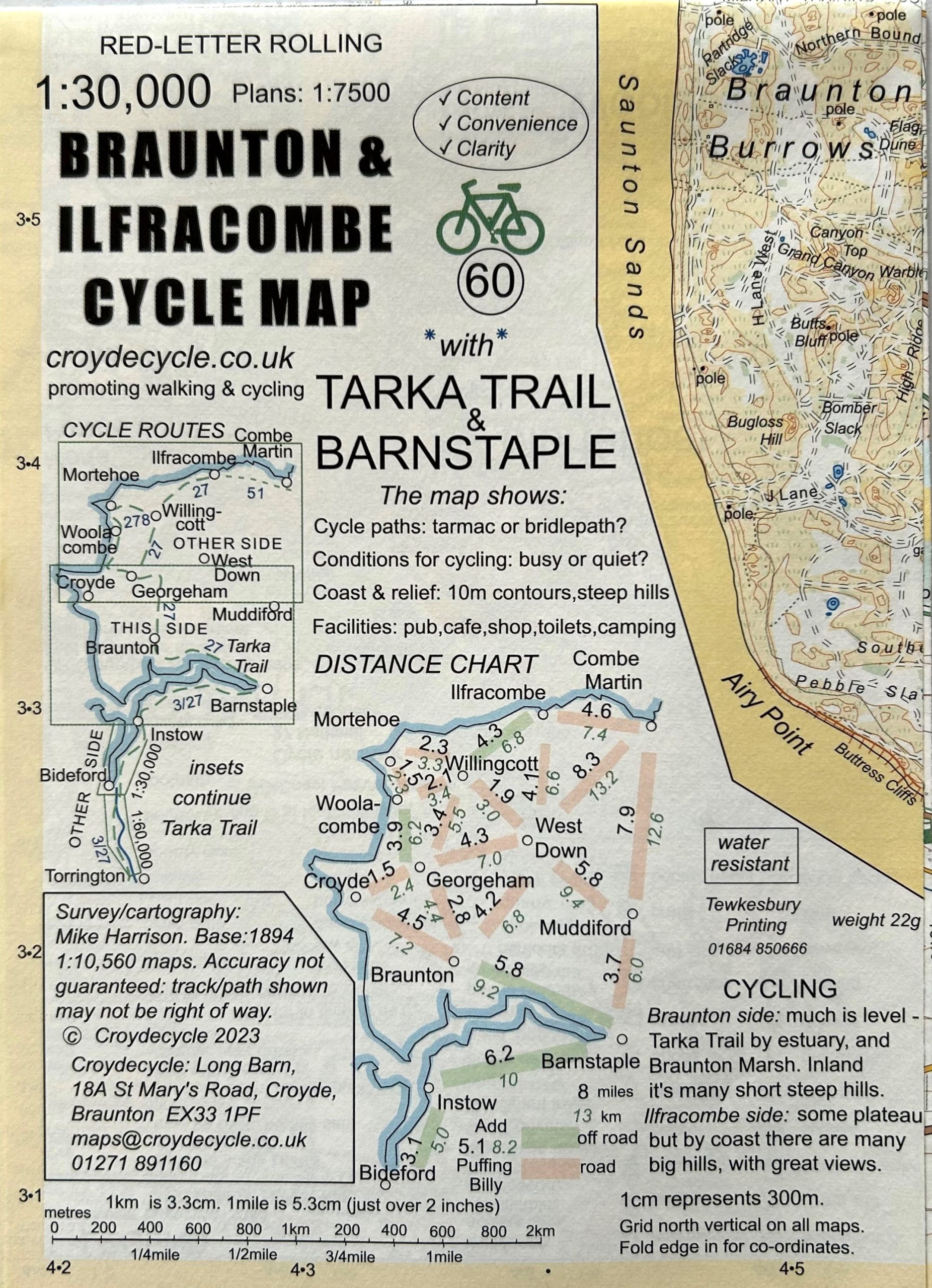
Detailed and specially drawn map of the Braunton & Ilfracombe area for cyclists and walkers. Maps are the handy small size of 500mm x350mm (folded 125mm x175mm). Also includes Croyde, Barnstaple, the Old Railway Line from Woolacombe to ilfracombe and the Tarka Trail.
Maps with more:
Content – packed with features, facilities and information.
Convenience – small, easily foldable, light: 22g, water resistant paper.
Clarity – 5 colour, use of symbols, drawn with user in mind.


