Description
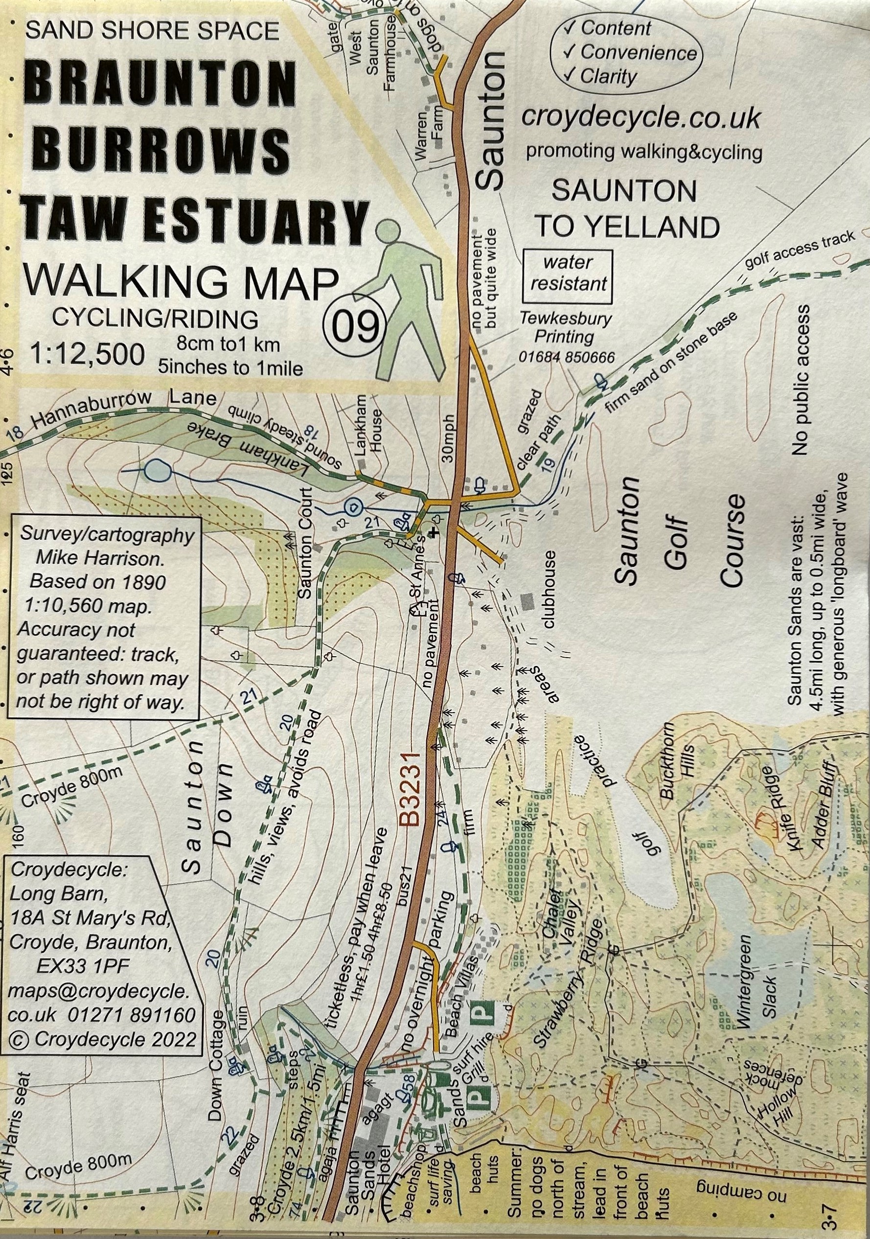
Detailed and specially drawn maps for walkers and cyclists of the Braunton Burrows and Taw Estuary area. The maps are double-sided and a handy small size of 500mm x 350mm (folded 125mm x175mm).
Maps with more:
Content – packed with features, facilities and information.
Convenience – small, easily foldable, light: 22g, water resistant paper.
Clarity – 5 colour, use of symbols, drawn with user in mind.


